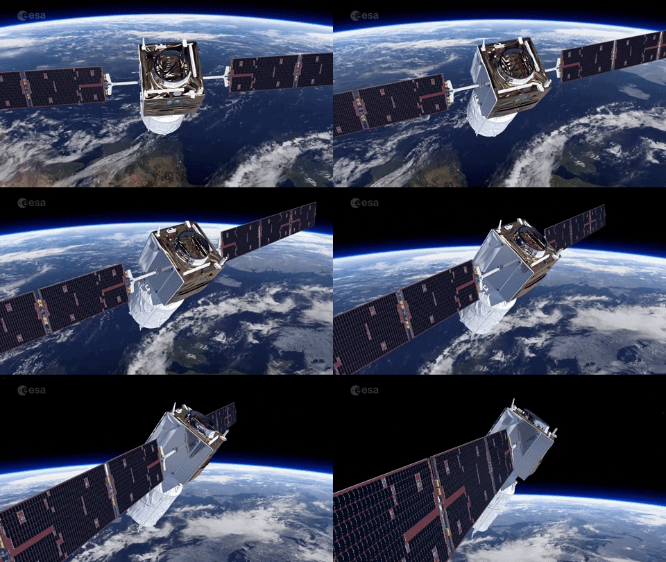
Planet Federal, a company that provides data and insights about Earth, will be helping USDA’s National Agricultural Statistics Service (NASS) rocket to new heights with a deal for improved crop data collection and analysis.
A picture of Earth is worth a thousand words. NASS, which plans hundreds of surveys and reports on the U.S. ag industry, will be using Planet for otherworldly data. The product, Planet Basemaps, offers enhanced satellite imaging that features the “best pixels and transforms them into visually consistent and scientifically accurate mosaics.”
Why it matters: Better imaging can help NASS produce accurate data that’s important to farmers, ranchers, and agribusinesses. Surveys collected by NASS help inform crop management decisions including marketing and logistics.
Far-out benefits include a more sustainable food supply, better risk management, and increased profitability.
“With Planet’s robust dataset integrated into our workflow, NASS can better understand and quantify trends in upcoming growing seasons, identify regions prone to drought stress and natural disasters, and provide high-resolution assessments of crop production,” says Rick Mueller, head of USDA’s NASS Spatial Analysis Research Section.
The (Milky) way to better data: NASS isn’t necessarily new to using satellite data from space. They have medium-resolution data from several space missions since 2007. But with Planet Basemaps, they hope these higher-resolution images will help boost county-level crop yield assessments for the 2021 growing season.

